- December 13, 2025

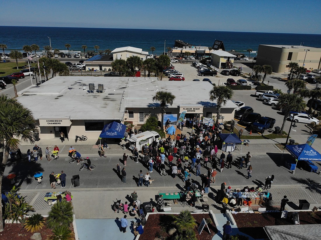
Although many of them aren’t much bigger than a laptop, drones are taking on a large — and increasing — role in the Flagler County government’s operations.
The county uses drones for many of the aerial surveying tasks that would have required a helicopter in the past — checking wildland fires for hot spots, surveying the coast after storms, and conducting search and rescue.
"I have a feeling that since people are starting to realize that we are deployable ... that we’re going to be called out when these events occur."
— MATTHEW ADAMS, Flagler County GIS analyst and UAS coordinator
“We flew the entire coastline before Hurricane Dorian and then again after, and were able to estimate the sand loss,” said Matthew Adams, the county’s GIS analyst and UAS coordinator.
Drones were also used after the December 2019 tornado to survey the damage, and in missing persons searches.
“Eventually, we will have the ability to drop a life preserver,” Adams said.
The county formally created a drone team in June 2019, and team members have since conducted 449 flights, including training time.
Flagler County has nine drones, five certified drone pilots and eight more in training.
The team tries to train at least monthly, and more if possible.
Being a good drone pilot, Adams said, requires attention to detail — not just for the flying, but for all the attendant regulations.
Like larger aircraft, drones must abide by FAA guidelines, and pilots undergo a certification process.
Adams began flying drones recreationally in high school, and began developing the drone program after he started working for the county in 2018.
The drone used for search and rescue purposes is a larger, desk-sized model with a laser range finder, a zoom camera and infrared that also comes in handy for fire operations.
Drones were used at a prescribed burn in Princess Place Preserve, where the thermal imaging system could detect hot spots not easily visible from the ground.
That’s been the drone team’s only fire so far, although Adams anticipates more in the future.
But drones are also useful for more mundane purposes, such as surveying and photographing drainage ditches on the west side of the county to compile data to improve stormwater flow.
“We mapped the entire stormwater system out there, and we’re able to bring it into the GIS (geographic information systems) system and draw point lines on the map where all of those issues are,” Adams said.
That project required multiple flights per day.
Adams had at first worried that resident on the west side, valuing their privacy, might find the drones intrusive. But most reacted with enthusiasm when told the drones are being used to fix the drainage system, he said.
“When we explained it, they were all like, ‘Oh yes, please keep doing it,’” Adams said. “It really just comes down to public education, so they know we’re not taking videos of their property; we’re really just doing it to gather data, or a search and rescue mission.”
Adams anticipates that the team will get busier.
“I have a feeling that since people are starting to realize that we are deployable ... that we’re going to be called out when these events occur,” he said. “We’re definitely a tool in the toolbox.”