- December 15, 2025

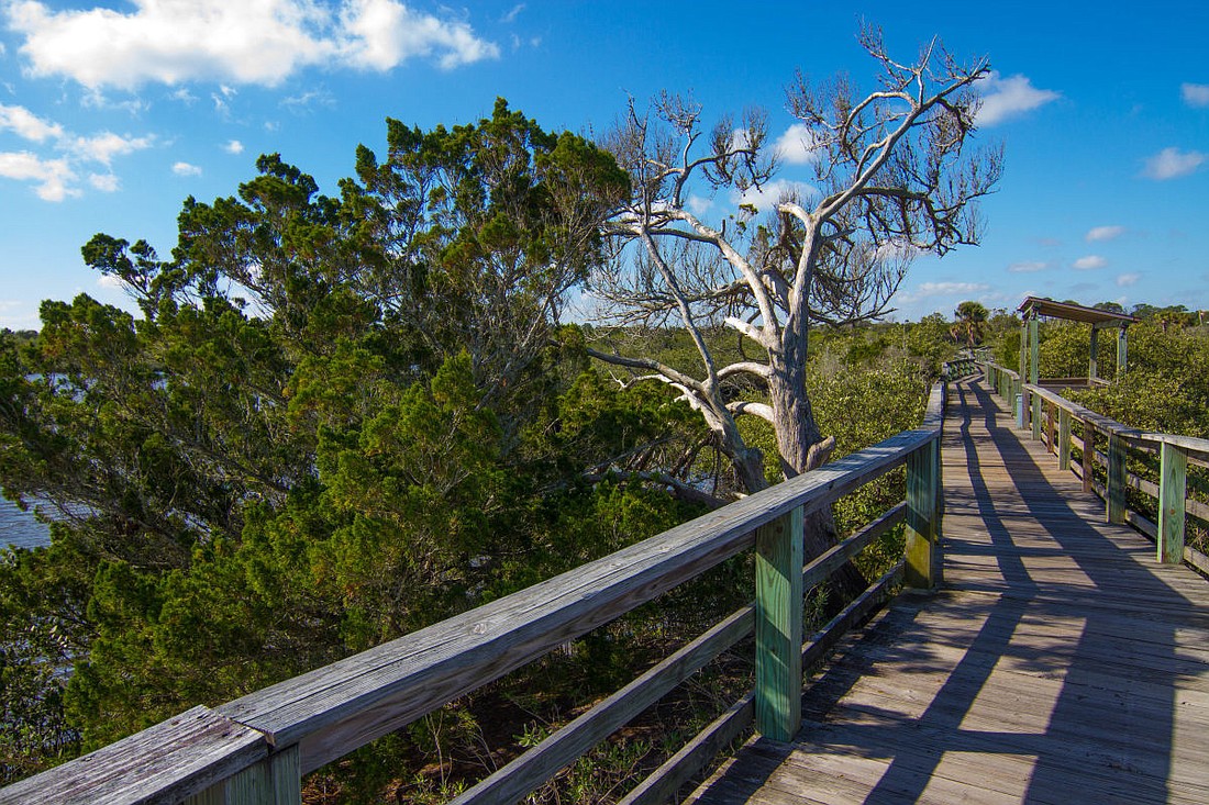
Ever wonder about how local government uses GIS (Geographic Information System) in its everyday work to benefit Flagler County? Residents have the opportunity to find out from 10 a.m. to noon on Wednesday (Nov. 17) at Betty Steflik Preserve, 815 Moody Lane in Flagler Beach, during a GIS Day event.
GIS is a computer system for capturing, storing, checking, and displaying data related to positions on earth’s surface. Common uses of GIS include: inventory and management of resources; crime mapping; establishing and monitoring roadways and routes; and, locating properties that match specific criteria, such as agricultural crop data.
“We are a behind-the-scenes group,” said GIS Manager Darlene Pardiny. “We have some fun things planned, like a digital scavenger hunt, but we will also be there to answer questions and possibly find out from the public what application they might find helpful so that we can build it.”
GIS has been integrated into departments and divisions throughout Flagler County. Representatives from Flagler Schools, the Property Appraisers Office, Dispatch, as well as Flagler County departments like Emergency Management, Growth Management, Parks, Road and Bridge, and General Services will be at the event.
“We will have good old fashioned paper maps, lots of digital examples, and the UGov App workflow will be demonstrated,” Pardiny said. “The Drone Team will be there with their devices. We’ll have some giveaways, with the best being ESRI (software company) has donated five desktop licenses for us to distribute.”
The first 20 people who complete the scavenger hunt will receive a reusable water bottle or tote bag.