- January 18, 2025
-
-
Loading

Loading

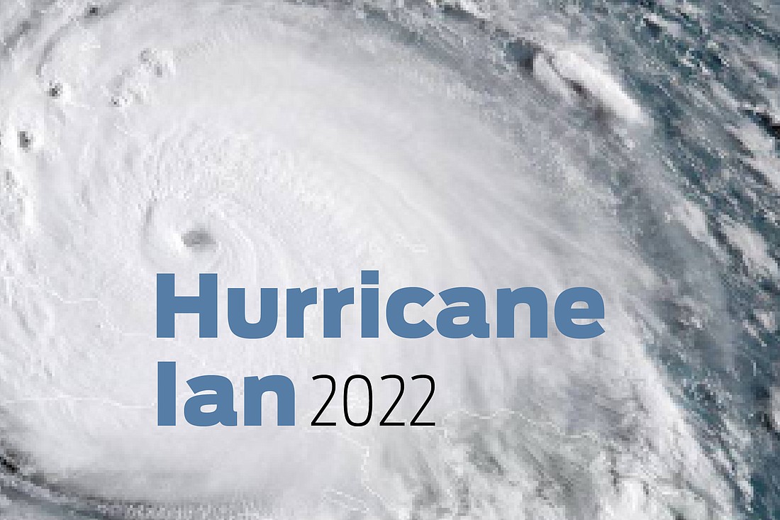
As Tropical Storm Ian continues to move off the shore of Florida at 9 mph, the National Hurricane Center warns residents along the coasts of northeast Florida, Georgia and South Carolina of a life-threatening storm surge.
Ian is expected to strengthen into a Category 1 hurricane again Thursday evening. Currently, maximum sustained winds have increased to near 70 mph with higher gusts. Ian is expected to produce a total of 20 inches of rainfall in some spots in East Central to Northeast Florida.
Ongoing major-to-record river flooding will continue across portions of Central Florida, per the NHC's 11 a.m. update, wth considerable flooding taking place in northern Florida. Flash and urban flooding is expected across coastal portions of northeast Florida through Friday.
Volusia County is currently experiencing widespread and historic flooding due to impacts from Ian. The county reported that high winds are forecasted to continue throughout the day and rains are expected to continue into the weekend, and urges residents to only call 911 if it is a life-threatening or emergency medical situation. There are currently 203,026 customers without power as of 10:54 a.m. in Volusia County, and all bridges are closed. A curfew is also in place until 7 a.m. Friday.
In Flagler County, the entire Woodlands neighborhood — also known as Hurricane Evacuation Zone C — was told to evacuate immediately after coordinating with Palm Coast. This due to expectations of significant flooding, which could also impact homes. Shelter information can be found here.
Bunnell officials have also asked residents and utilities customers to stop non-essential water usage until further notice.
“Right now, our manhole covers are overflowing with rainwater,” said Bunnell City Manager Alvin Jackson. “That will change, so please no more showers or dishes or other non-essential uses.” City officials ask residents to limit toilet flushing as well.